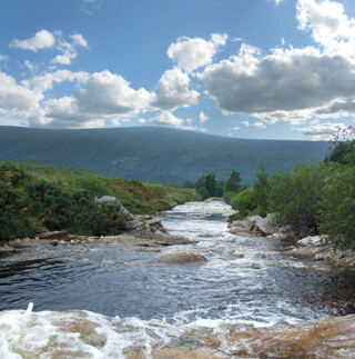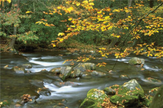
Waterfalls of North Georgia
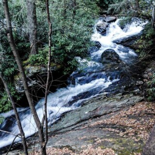
Amicalola Falls The highest waterfall in Georgia, falling 729 feet in seven cascades. At the base of the falls, there is a parking area, a reflection pool, and 3/10-mile paved trail leading to an observation deck at the top of the falls. Directions: from Dahlonega, Amicalola State Park’s entrance is on GA Highway 52, east of Ellijay or west of Dahlonega. Anna Ruby Falls Curtis Creek falls 153 feet and York Creek drops 50 feet down the slopes of Tray Mountain in twin waterfalls. The very steep 4/10 mile Anna Ruby Falls Trail is paved and has benches along the trail for sitting or resting while enjoying the beauty of the area. Directions: from Helen, take GA 75 North one mile. Right on GA 356 for 1.5 miles, left on the entrance road to the falls. Becky Branch Falls The 20 foot Becky Branch Falls is easily observed from a wooden bridge which crosses the stream. Becky Branch Falls is accessed via the Bartram Trail. Directions: From Clayton, Georgia go east on Warwoman Road (County Rd. 5) for just less than 3 mile to Poll Creek Road. Park on left side of road by a small branch. Follow the trail on the right side of the branch for about 200 yards to a bridge at the base of the falls. Blood Mountain Falls & Falls on Waters Creek This beautiful waterfall is located on Blood Mountain Stream. The stream flows almost 20 feet through a rock cut, creating a churning sluice of water. Directions: From US 19/129 (Turners Corner), go west on US 19 for approx. 1/2 mile to Waters Creek Recreation Area. Turn right, go approx. 2.8 miles and park in the lot to the right. Across the road is a path to the viewing area. Cowrock Creek Falls Cowrock Creek Falls is ab out 30 feet high. Directions: From the junction of Hwy 19 and 129, travel 1.4 miles on Hwy 19/129 North to FR 443 and turn right. Travel 2.3 miles on FR 443. Park & walk on the old logging road for 0.6 miles. DeSoto Falls Three falls along a 3 mile section of the DeSoto Falls Trail are maintained for the hiker’s viewing convenience, and are designated as the lower (cascading 20 feet), the middle (falls about 80 feet) and the upper (about 200 feet) DeSoto Falls. Directions: From Dahlonega travel north on US 19 for 13.5 miles to Turners Corner. At this intersection, turn left and proceed on US 129 for 4.2 miles. Shortly after the Walasi-yi Center is a left turn for the park. Dukes Creek Falls A well-designed trail winds its way into Dukes Creek Gorge, ending at the base of the falls which drop about 150 feet down sheer granite canyon into Dukes Creek. Directions: Take GA 75 north from Helen for 1.5 miles. Turn left on GA 356 (75 Alternate) for 2.3 miles to the Richard Russell Scenic Highway. Turn right, go 2 miles to Dukes Creek Falls Recreation Area. [...]